About

José Jesús Reyes Nuñez is Associate Professor at Eötvös Loránd University (ELTE) in Budapest, Hungary. His research interests lie in Cartography for Children and School Cartography (teaching of cartographic concepts and map use in Elementary and Secondary Schools, use of new technologies in schools), Digital and GIS Cartography, Web Cartography and Geovisualization. He has given lectures and offered courses in 17 universities of 8 countries.

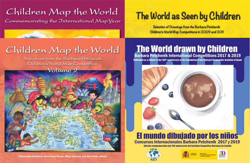
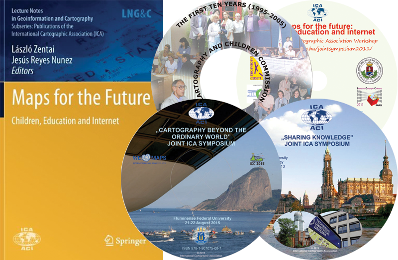
Author of almost 30 articles in scientific publications and more than 75 papers in different events, he has collaborated as cartographer in more than 40 textbooks and atlases. He is responsible for the organization of the Barbara Petchenik Map Competition in Hungary from 1999, being President of the International Jury in 2005 and 2007. He was Chair of the ICA Commission on Cartography and Children from 2007 to 2015, currently Vice-Chair of the same Commission. The International Cartographic Association awarded him with the Diploma for Outstandings Services to ICA in 2015.

From August 2019 he was named as Vice-dean for International Affairs at the Faculty of Informatics.

Learn More
Basic Information
Date of birth:
October 7, 1962
Place of birth:
Havana, Cuba
Nationality:
Hungarian
Phone:
+36 1 372 2975
Address:
Pázmány Péter sétány 1/A., 1117, Budapest, Hungary
Languages:
Spanish (native), Hungarian (working language), English, Portuguese
Education:
2002: PhD on Earth Sciences, Specialization on Cartography (Thesis: Presentation of cartographic concepts for children on the Web)
1986: MSc on Cartography (Diploma work: Historical map on the occupation of Havana by England in 1762)
Research
Cartography for Children
100%
School Cartography
90%
Digital and GIS Cartography
70%
Web Cartography
60%
Geovisualization
70%
Map History
50%
International activities
Teaching in English language

September 2016 - Present

Digital Cartography
Practice

Solutions for the digitalization of printed maps. Importing scanned files. Page setup. Definition and use of layers. Auxiliary tools (snap, guidelines, etc). Drawing and text tools. Defining the graphic properties of the objects: contour lines and fills. Colour models. Editing tools. Use of graphic effects on the maps. Printing and exporting the results.

September 2016 - Present

Webcartography
Theory and practice

Introduction: Brief history of the Web and HTML language. More frequent file formats. Vector- and raster-based graphic formats. Web resources for making maps. Basics of HTML language. Types of HTML editors, using free software and web-based HTML editors. Definition and characteristics of an image map. Use of image maps in websites related to Cartography: advantages and disadvantages. Preliminary steps to make an image map: re-edition of vector-based files, conversion to raster format. Free software and websites to make image maps. Newest map-based solutions on the Web. Cloud-based thematic mapping and Google-based collaborative cartography.

September 2016 - Present

Geovisualization-based solutions in cartography
Theory

Milestones in the history of the thematic cartography and data visualization. Cartograms: history, definitions, types, results of newest research projects and examples from the Web. Chernoff faces: history, definition, principle, types, examples from the Web, results of newest research projects and the use of the Chernoff principle in school cartography. Geovisualization-based solutions in school cartography. The use of sound in cartography: early experiments on thematic maps, use on multimedia maps. Sound and other solutions in Cybercartography research projects. Maps and atlases for blind and visually impaired people.Map-based and non map-based geovisualization: newest solutions and current research projects.

September 2016 - Present

Geovisualization-based solutions in cartography
Practice

Cartograms: free software, applications and websites for their making. Chernoff faces: Their making and use in different software and applications. Tag clouds in cartography: Making of word- and data cloud maps using a web-based application. Making an interactive website using MAPublisher. ArcGIS Online: Making of thematic maps and story maps.

Others

1993 to current day

TUTORSHIPS AND OTHERS
Tutor of

PhD thesis: 8 (4 defended)
MSc thesis: 34
BSc thesis: 18
Thesis defended by foreign ERASMUS students: 17

Committee member and /or opponent activity in PhD defenses in Hungary: 21
Committee member and /or opponent activity in PhD defenses in other countries: 5

1997 to current day

HONOURS AND GRANTS
Honours:

2017: Diploma for Excellent Professor of the Faculty of Informatics at ELTE
2015: Diploma for Outstandings Services to ICA, given by the International Cartographic Association (ICA)
2014: Apáczai Csere János Award of the Hungarian Ministry of Human Resources
2001: Szádeczky-Kardoss Elemér Prize of the Hungarian Academy of Sciences
1997, 1999: Beautiful Hungarian Map, Diploma

Grants:

2003–2006: János Bolyai Research Grant of the Hungarian Academy of Sciences
2000 (March-July): Erasmus grant (Presentation of map concepts for children in the Web) in Porto (Portugal)
1997 (June-July): Tempus grant (Study of map software in UNIX workstations) in Karlsruhe (Germany)

Contact Me

Address

Eötvös Loránd University
Institute of Cartography and Geoinformatics
Pázmány Péter sétány 1/A.
1117
Budapest, Hungary

Phone

+36 1 372 2975

Email

jesusreyes@caesar.elte.hu